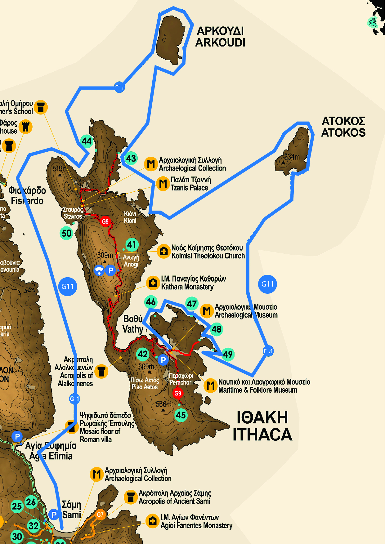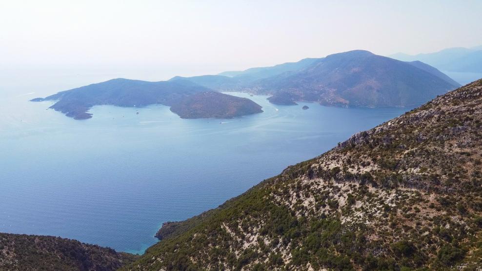
The sea georoute of Ithaca starts from Vathi, the capital of the island, and proceeds towards Northeast (Figure 1) to Geosite Sarakiniko passing in front of Dexa and Skinos bays, where we can admire their intense geomorphology due to eustatic movements of the sea during the last glacial periods. To reach Sarakiniko, we pass from Geosites Gidaki and Filiatro. By following this sea georoute we can see almost the whole lithological sequence of the Ionian zone that occurs on the island of Ithaca. Then we head towards Atokos island and sail around, in order to see the prominent relief, as well as the similarity of the lithological formations with those of Ithaca, the sequence of which appears reversed. Then we return to Ithaca and specifically to the northern part of the island where we first pass close to the second largest settlement of the island, the picturesque Kioni. We then head towards Geosite Marmakas, which is located outside the port of Frikes village. Except of the beach and the small coastal swamp, which is the only wetland on the island, in this Geosite we see the occurrence of three different rock formations of the Ionian zone: the limestones of "Pantocrator", the formation of Ammonitico Rosso and the limestones with cherts and clay shales. We proceed towards Geosite Afales where we have the opportunity to see the Paleocene-Eocene limestones as well as the flysch formation (alternations of sand and clay layers) of the Ionian zone. We continue the sea georoute heading towards Arkoudi islet, where at the major part occur the limestones of the "Pantocrator" and at the western part we can observe Triassic breccia. Finally, we head towards the island of Kefalonia and specifically to the port of Sami crossing the "Strait" of Ithaca along which we see at the same time the island of Ithaca and the northern part of the island of Kefalonia.
